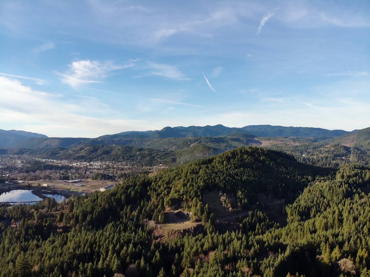
A Preliminary Study of the Alluvial Aquifer in Oakridge, OR

We are very grateful to UofO and the students who have provided these findings for the city of Oakridge. While additional testing will need to be completed to fully confirm, this study will help in the Save TV Butte fight, to show the county just how connected the water flow under to Butte could be to Oakridge's aquifer that supplies the whole city its water. If the suggestions are correct, major interference to the butte, such as the type the proposed Old Hazeldell Quarry would have, could have major impacts on our city's direct source of water.
The following is just the Conclusion portion of the study. If you wish to see the full study report, please go visit: A Preliminary Study of the Alluvial Aquifer in Oakridge, OR
Conclusion:
The collected data indicate that the water table follows surface topography. This is to be expected of an unconfined aquifer. The chemistry readings suggest interaction between the butte and groundwater, causing variances in groundwater chemistry around the city. The substantially lower transmissivity suggests declining groundwater availability for the city.
A more comprehensive study of the Oakridge Alluvial Aquifer will require additional water well sampling and GPR grid scanning. These additional surveys would provide the City of Oakridge with more insights into how the city’s municipal water supply may change in the coming years as well as clarity regarding interactions between the aquifer and the andesite beneath TV Butte. Performing surveys across multiple seasons would also reveal the extent of seasonal recharge and water table elevation fluctuations.
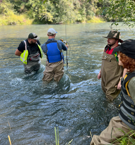
While the well sampling performed in this project provided a broad understanding of the water chemistry across Oakridge, additional sampling from wells beyond the two used in this study would provide more accurate interpretations of interactions between TV Butte and the alluvial aquifer beneath Oakridge. If samples taken in proximity to TV Butte show a similar high specific conductivity trend compared to samples taken further downstream, a link between the aquifer and butte can be interpreted.
The three GPR transects, or line scans, allowed for water table imaging and a limited hydraulic gradient analysis within the aquifer. Analyzing the hydraulic gradient adjacent to TV Butte utilizing another elevation-tracked GPR line scan would provide a more definitive understanding of TV Butte-Oakridge alluvial aquifer interactions. However, unlike grid scans, line scans do not generate a 3D image of the aquifer structure or water table. A 3D image would provide enough data to map the flow field beneath Oakridge. The addition of GPR microplot grid scans adjacent to TV Butte and on the west end of Oakridge would produce highly detailed potentiometric surface maps. A potentiometric surface map would provide insight into groundwater sources and groundwater interactions with subsurface features, as subsurface objects and groundwater sources can be interpreted by contour shapes.